

I lingered at Sound Waters through lunch time, but then headed out to enjoy an amazing February afternoon.
Lagoon Point is a relatively large barrier beach on the west side of Whidbey Island. Old maps show a tidal inlet near the south end and a large salt marsh. In 1970, the bulldozers were hard at work dredging channels in the marsh and using the resulting dirt to build finger peninsulas. A mini-Venice, where everyone gets waterfront and their own moorage. In 1971 folks started writing laws to prevent this kind of thing.

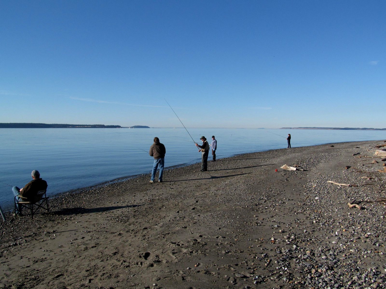
The water was calm and their were several fishermen and a bald eagle fishing from the beach. The beach on the southern limb of Lagoon Point looked like it had been planed off (it was almost flat), perhaps in one of the season's early storms, and now there was a swash berm trying to rebuild the profile.

I walked south for a mile or so to the northern end of the smaller barrier south of Lagoon Point. I had recently run into an old Wolf Bauer photograph of a log-choked lagoon and thought it was probably this one -- it was. This photo is an attempt to recreate Bauer's shot from 40 years earlier. Things don't look much different. The logs are all still there - they rot slowly and there's no mechanism to release them once they become trapped in the lagoon.

The short stretch of beach between the two barriers is backed by a 60-80' high bluff of Vashon Till. Till is a poorly sorted mixture of sediment sizes that has been compacted by the ice into something that often resembles concrete. As a result, it tends to stand in vertical faces and often erodes through the failures of large slabs. Boulders from the eroding till were scattered over the beach. And more boulders, some very large, could be seen jutting out from the bluff face, waiting to join the others.

Unlike the gravelly sand beaches of the barriers themselves, this stretch of beach was all coarse gravel and cobble. The source of the coarse material is no mystery, given the till bluff. But why no sand? It is possible that it is simply buried under the coarser armor layer - as is often the case. Or is it related to the fact that this is a cove between two points and nature for some reason prefers to stack the finer material on either side. Conventional coastal geomorphology suggests that just the opposite should occur, but in these mixed sediment systems with highly oblique wave action, conventional often doesn't work.
AERIAL VIEW
0 Response to "Lagoon Point"
Posting Komentar