Manson


I covered the south side of the lake as far as  I could in the car (25-Mile Creek), before backtracking to town and heading up the northeast side toward (and beyond) Manson, which is a few miles up the lake from Chelan.

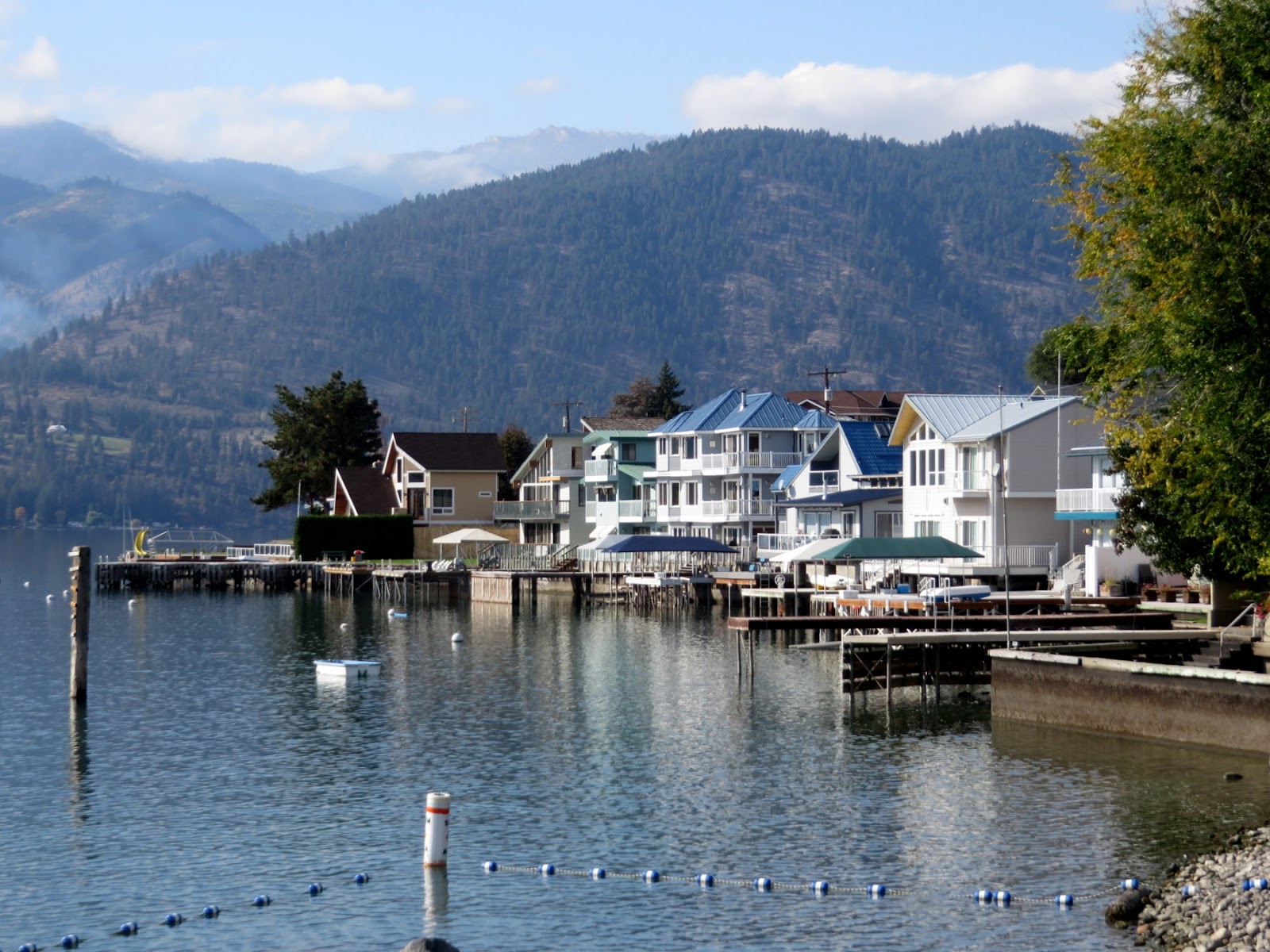
Most of this shoreline is bumper to bumper waterfront homes, built out on fill and perched on bulkheads. If there were originally natural beaches at this lake elevation, they would be long buried beneath houses and lawns.


There are a few beaches where the orientation (generally towards the upper end of the lake) and available sediment (native or imported) were favorable, but not many.

AERIAL VIEW

There was a nice little pocket beach in Manson itself (Manson Bay Park), tucked behind a pier/breakwater that shelters it from the waves coming down the lake.  As with the other sites, I'd like to see this in the winter when the lake level is lower.


Related Posts :

  • North Point The Port of Olympia sits on a promontory of fill at the southern end of Budd Inlet, at the mouth of… Read More...
  • Deschutes EstuaryI probably should have titled this post "Capitol Lake," just to avoid controversy, but after all, it… Read More...
  • Port Gardiner The shoreline runs almost east-west between Elliott Point (Mukilteo) and Everett and the result is … Read More...
  • Marrowstone PointIn previous years, we've brought this class to Kala Point, but this year we shifted things around an… Read More...
  • BayviewOf the class of 40 or so people here to learn about climate change, only half a dozen or so probably… Read More...

0 Response to "Manson"

Posting Komentar

wdcfawqafwef