Kamis, 09 Juli 2015
nevada
Grimes Point
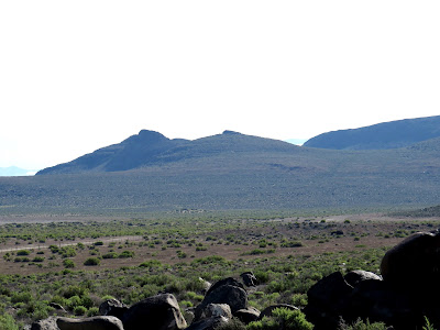
It's a little difficult to make out the old shorelines of Lake Lahontan in this photo. I'm sure it would have been better earlier or later in the day when the sun was lower and the shadows more distinct.
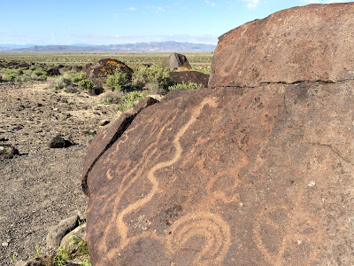
Lahontan was a large lake formed during the cooler period that followed the last glaciation and it filled much of the area between the mountains in western Nevada 10,000 years ago. It lingered at lower levels much later than that and the petroglyphs at Grimes Point are carved into boulders that would have been scattered around the edges of of a shallower lake several thousand years later. Or at least that's how I understand the story.
Gilbert did some classic work on the spits and other landforms that formed on the shores of Lake Bonneville, but I haven't done my homework and don't know how much has been done on the shorelines of Lake Lahontan (although I'm pretty sure shorelines features and beach ridges have been described).


0 Response to "Grimes Point"
Posting Komentar