


Cape Arago is the tip of the broad headland southwest of Coos Bay - the same headland on which Sunset Bay and Shore Acres (previous posts) are located. The viewpoint offered great views down the coast - complete with whales - but it was the beach right below us that caught my attention.
AERIAL VIEW
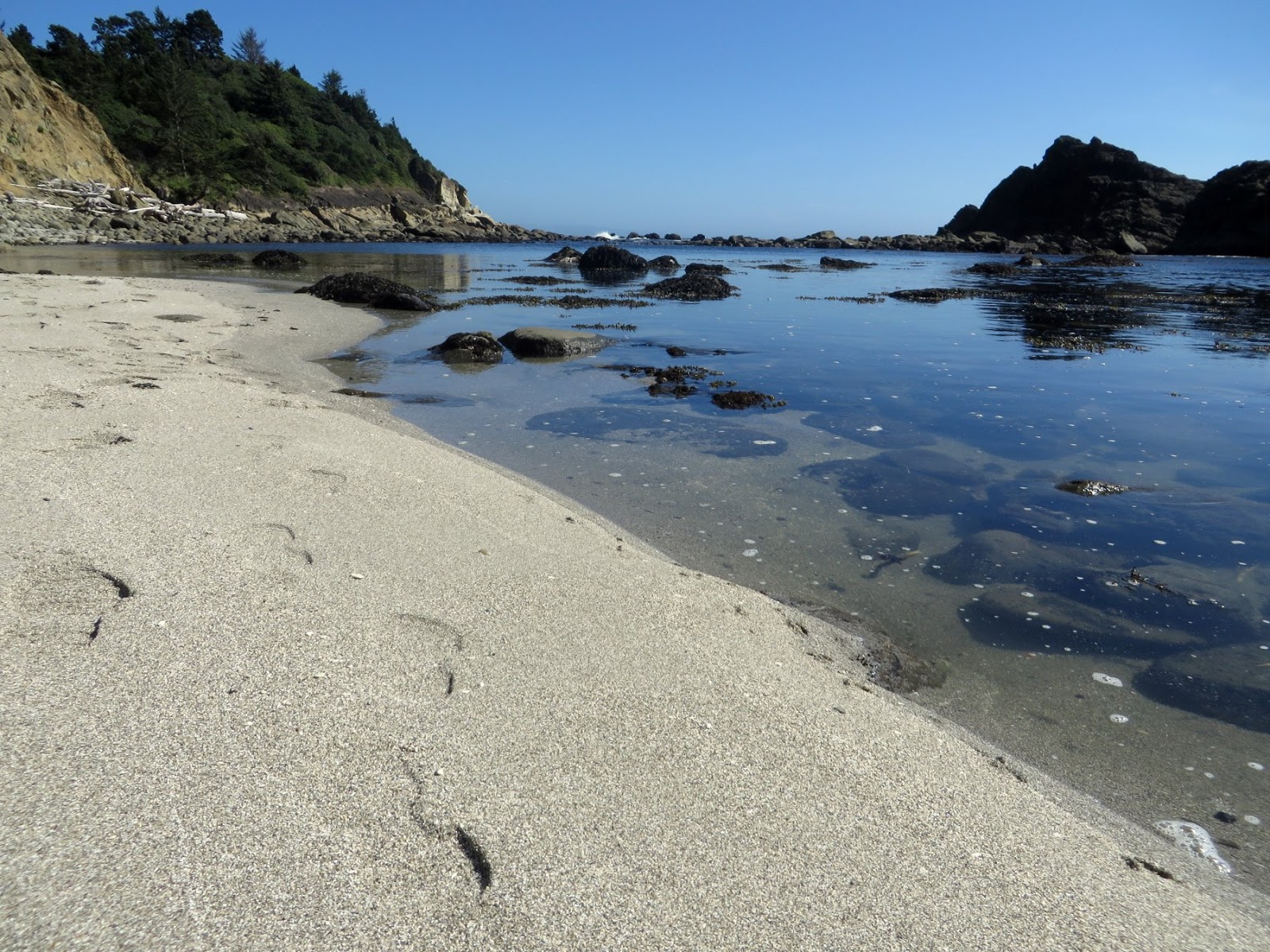
I scrambled down to the little cove (Middle Cove) on the south side. The trail came down across what looked like an old landslide, perhaps a source of sediment for the isolated beach at the bottom. The beach itself is fairly protected by the headland and by offshore rocks, but the exposure to the south is still pretty significant and there must be enough wave energy to stack up those big cobbles!
But it's awfully hard to picture winter storms on a sunny, calm June day.
0 Response to "Cape Arago"
Posting Komentar